Library Finds
I’ve been acquiring books for as long as I can remember (and have only recently begun the process of deacquisitioning). Most I’ve purchased, but others have been given to me as gifts or for the purpose of writing a review. I don’t have any particularly valuable books, but I do have some that are unique and interesting. It is my intention to begin a series of periodic posts about some of these interesting finds on my library shelves.
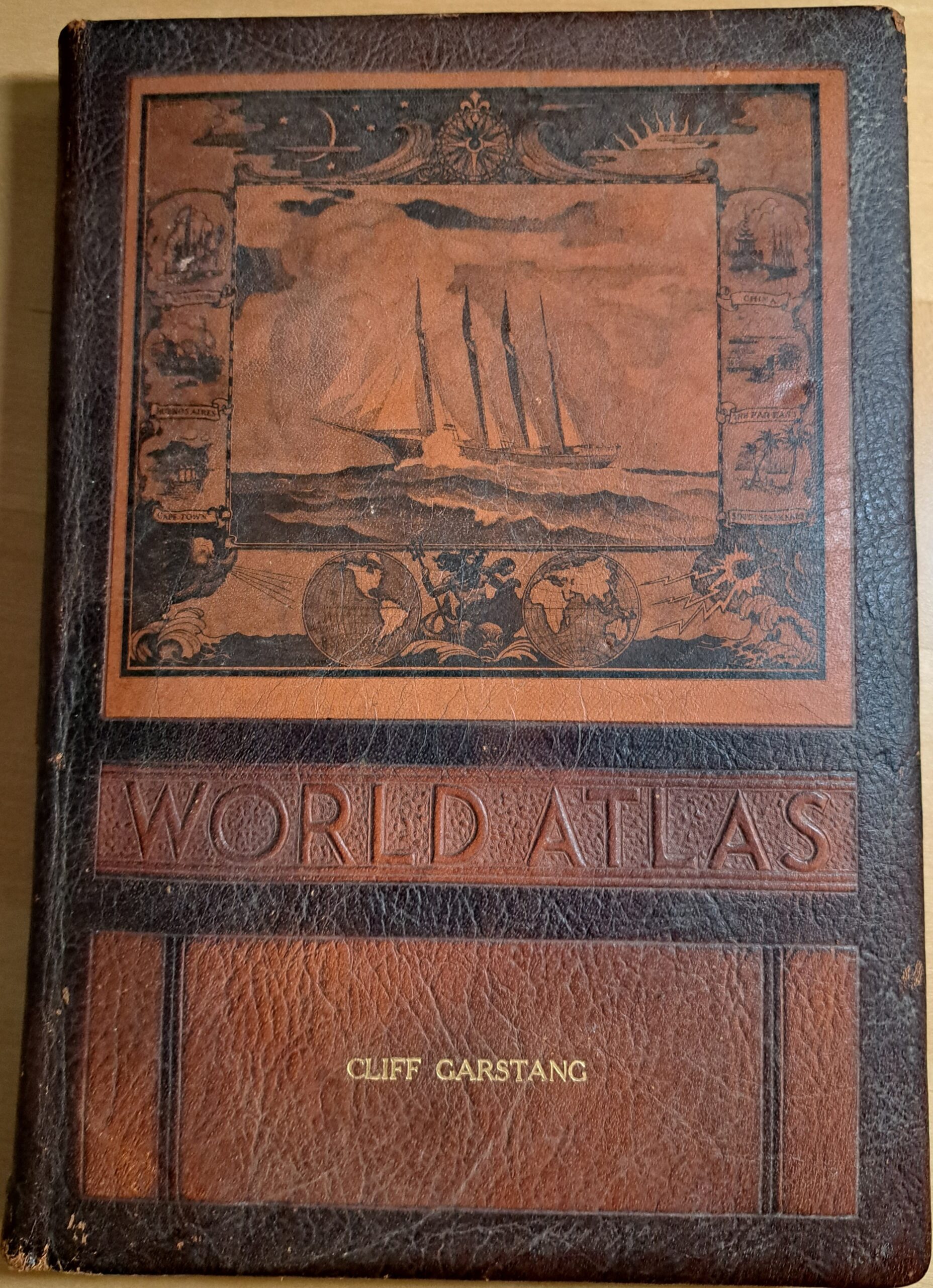
This one is probably the most unusual book I own: a leather-bound World Atlas with my name on it. But wait, that’s not MY name. It’s the name I shared with my late grandfather, and I inherited this atlas when he died in 50 years ago.
This atlas was published in 1943 by the Rand McNally company. It has two copyrights—1941 and 1943—which suggests that it was updated after its original publication to include changes that had occurred in the early part of WWII. For example, the first map is of the Western War Zone, with the “United Nations” territories highlighted in red. Because the United Nations didn’t exist until 1945, I assume this refers to what we commonly call the Allies. Axis Nations are shown in dark green and countries or territories occupied by the Axis Nations are in light green.
Additional maps show the Middle East, South Pacific, and North Pacific War Zones. The South Pacific map is interesting because it shows most of Southeast Asia and North Asia either as part of the Axis Nations (Japan and Korea, which at that time was a Japanese “colony”) or as occupied by Japan.
In the map of Central America, modern Belize is called British Honduras. I had no idea. (And I now know that it didn’t obtain full independence until 1981.)
The map of Central Europe is complicated. The Baltic Republics don’t exist. Poland covers some of the territory that is now part of Belarus and Ukraine. Germany covers all of what is now Austria, Czechia and Slovakia.
The map of “Turkey, Syria, and Iraq” is also interesting. No Israel exists yet and both Palestine and Trans-Jordan are part of the British Mandate. The most unrecognizable map belongs to Africa, divided among the various European powers.
The binding of the atlas is fragile and I doubt the book has much value, but it certainly is a curiosity!